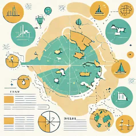
Maps are powerful tools for understanding how different phenomena are spread across the Earth’s surface. Among the many types of maps used in geography, distributional maps hold a special place because they focus on showing where things are located and how they are distributed in space. Whether the subject is population, rainfall, crops, industries, or diseases, distributional maps help readers visualize patterns that would otherwise be difficult to grasp from raw data alone. Learning what the types of distributional maps are makes it easier to choose the right map for analysis, education, and decision-making.
Understanding Distributional Maps
Distributional maps are thematic maps designed to show the spatial distribution of a specific feature or variable. Unlike political or physical maps, they do not focus on boundaries or landforms but instead highlight how a particular element is spread over an area.
These maps are widely used in geography, economics, environmental studies, and social sciences. By using symbols, colors, or shading, distributional maps transform numerical or descriptive data into visual information that can be quickly interpreted.
Main Types of Distributional Maps
There are several types of distributional maps, each suited to a particular kind of data and purpose. The choice of map depends on whether the data is qualitative or quantitative, continuous or discrete, and whether comparison or pattern recognition is the main goal.
Dot Distribution Maps
Dot distribution maps use dots to represent the occurrence or concentration of a feature. Each dot may represent a fixed quantity, such as a certain number of people, animals, or units of production.
This type of distributional map is effective for showing density and clustering. For example, population distribution can be clearly visualized by observing where dots are closely packed and where they are sparse.
- Useful for showing density patterns
- Easy to understand visually
- Best for large datasets
Choropleth Maps
Choropleth maps are one of the most common types of distributional maps. They use different shades or colors to represent data values across defined areas such as countries, states, or districts.
Darker or more intense colors usually indicate higher values, while lighter shades represent lower values. Choropleth maps are commonly used to show population density, literacy rates, or income levels.
Isopleth Maps
Isopleth maps show the distribution of continuous data by using lines that connect points of equal value. These lines are known as isopleths.
Weather maps are a classic example, using isobars for air pressure and isotherms for temperature. Isopleth maps are ideal for representing gradual changes over space rather than data tied to administrative boundaries.
Proportional Symbol Maps
Proportional symbol maps use symbols of varying sizes to represent different data values at specific locations. The size of each symbol corresponds to the magnitude of the variable being measured.
For example, circles of different sizes may be used to show the population of cities or the volume of trade at ports. This type of distributional map allows for easy comparison between locations.
Specialized Types of Distributional Maps
Beyond the main categories, there are more specialized types of distributional maps designed to address specific mapping needs.
Point Distribution Maps
Point distribution maps show the exact location of individual features using points. Unlike dot maps, each point represents a single occurrence rather than a quantity.
These maps are often used for showing locations of schools, hospitals, earthquakes, or wildlife sightings. They emphasize location accuracy rather than density.
Flow Maps
Flow maps illustrate the movement of people, goods, or information from one place to another. Lines or arrows of varying thickness represent the volume or intensity of movement.
While primarily focused on movement, flow maps also function as distributional maps by showing how interactions are spread across space.
Cartograms
Cartograms distort the size of geographic areas to reflect the value of a particular variable. Instead of showing true land area, the map emphasizes data distribution.
For instance, a cartogram may enlarge countries with larger populations and shrink those with smaller populations. This approach highlights data importance over geographic accuracy.
Choosing the Right Distributional Map
Selecting the appropriate type of distributional map depends on the nature of the data and the message being communicated. A poorly chosen map can mislead or confuse readers.
Understanding the strengths and limitations of each type helps ensure that spatial patterns are represented clearly and accurately.
- Dot maps are best for showing density and clustering
- Choropleth maps work well for area-based comparisons
- Isopleth maps suit continuous data
- Proportional symbols highlight magnitude differences
Advantages of Distributional Maps
Distributional maps offer several advantages over tables or written descriptions. They allow users to identify spatial patterns quickly and make comparisons at a glance.
These maps also support decision-making by revealing relationships between location and variables such as resources, population, or risk factors.
Limitations and Challenges
Despite their usefulness, distributional maps have limitations. Choropleth maps, for example, can hide variation within large areas, while dot maps may become cluttered if too many dots are used.
Data accuracy and appropriate classification are critical. Poor data or misleading symbol choices can result in incorrect interpretations.
Role in Education and Research
Distributional maps are widely used in classrooms to teach spatial thinking and geographic concepts. They help students move beyond memorization to understanding patterns and relationships.
In research, these maps support analysis in fields such as urban planning, epidemiology, environmental management, and economics.
Modern Use of Distributional Maps
With advances in digital mapping and geographic information systems, distributional maps have become more interactive and precise. Users can now zoom, filter, and layer data to gain deeper insights.
Despite technological changes, the basic types of distributional maps remain foundational to spatial analysis.
Understanding what the types of distributional maps are is essential for interpreting and presenting geographic information effectively. From dot distribution maps and choropleth maps to isopleth and proportional symbol maps, each type serves a unique purpose. By matching the right map type to the right data, distributional maps reveal patterns, relationships, and trends that help explain how the world is organized in space. These maps continue to be valuable tools for learning, planning, and understanding complex spatial information.