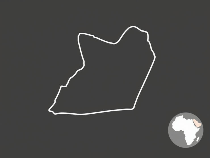
Located in East Africa, Uganda is a landlocked country with a diverse landscape that includes lakes, mountains, rivers, forests, and savannahs. The map of Uganda reflects this variety, showing a country shaped by natural boundaries, political borders, and cultural regions. Understanding the map of Uganda provides insight into its geography, administrative divisions, transport networks, and neighboring countries. Whether for educational, travel, or research purposes, examining Uganda’s map helps reveal the complexity and richness of this East African nation.
Geographical Location of Uganda
Uganda lies within the East African region and is bordered by five countries. To the north is South Sudan, to the east is Kenya, to the south is Tanzania, to the southwest is Rwanda, and to the west is the Democratic Republic of the Congo. The country is situated between latitudes 1°S and 4°N, and longitudes 29°E and 35°E. This location places Uganda within the equatorial zone, which influences its tropical climate and lush vegetation.
One of the most prominent features on the map of Uganda is its proximity to the equator, which passes near the southern part of the country. This equatorial location gives Uganda its warm weather and supports agriculture and biodiversity throughout the year.
Physical Features on the Map of Uganda
Uganda’s map is marked by several notable physical features that define its natural environment. These include mountains, lakes, rivers, and plateaus that shape the landscape and support local ecosystems and human settlements.
Major Lakes and Rivers
- Lake Victoria– Located in the south, this is the largest lake in Africa and the second-largest freshwater lake in the world. It forms part of the border with Kenya and Tanzania.
- Lake Albert– Situated in the west, this lake marks part of the border with the Democratic Republic of the Congo.
- Lake Kyoga– Found in central Uganda, it is a shallow lake that plays an important role in water flow and aquatic life.
- The Nile River– Originating from Lake Victoria, the Nile flows northward through Uganda and continues into South Sudan and beyond. The section within Uganda is known as the Victoria Nile.
Mountain Ranges and Highlands
- Rwenzori Mountains– Often called the Mountains of the Moon,” they lie along the western border and are home to Uganda’s highest peak, Margherita Peak on Mount Stanley.
- Mount Elgon– An extinct volcano in the east, on the border with Kenya. It has one of the largest calderas in the world.
- Western Highlands– This area includes several elevated regions with fertile soil and moderate climate, suitable for farming and settlement.
Administrative Divisions on Uganda’s Map
Uganda is divided into four major administrative regions Central, Western, Eastern, and Northern. Each region contains several districts, which serve as the primary administrative units of local government. As of recent data, Uganda has over 130 districts, and this number continues to grow as new districts are created for improved governance.
Important Regions and Cities
- Kampala– The capital city and Uganda’s largest urban center. Located near Lake Victoria, it serves as the economic, political, and cultural heart of the country.
- Entebbe– Situated on the shores of Lake Victoria, this city is home to Uganda’s main international airport.
- Gulu– A key city in Northern Uganda, known for its recovery efforts following years of conflict.
- Mbarara– Located in the Western Region, it is a growing commercial and educational hub.
- Jinja– Found in the east near the source of the Nile, Jinja is known for its adventure tourism and hydroelectric dams.
Transport and Infrastructure on the Map
The map of Uganda also illustrates the country’s road and railway networks, airports, and other key infrastructure. Transport routes are essential for connecting rural and urban areas and facilitating trade with neighboring countries.
Major Roads and Highways
Uganda has several major highways that connect key cities and border crossings
- Kampala-Entebbe Expressway – Provides fast access to the international airport.
- Kampala-Gulu Highway – Links the capital with the north.
- Kampala-Jinja Road – A key route for goods moving to and from Kenya via the Port of Mombasa.
Railway and Air Transport
The Uganda Railway network, though limited, connects some important towns and extends toward Kenya. Entebbe International Airport is the main air travel gateway, while domestic airstrips serve smaller cities and tourist destinations.
Border Features and Neighboring Countries
The map of Uganda also highlights its international borders. These boundaries influence trade, migration, and diplomacy. Uganda’s location makes it a central hub in the East African region, providing land access to both eastern and central Africa.
- Kenya– A major trading partner to the east, with a shared border near Busia and Malaba.
- South Sudan– Uganda has historical ties with this northern neighbor, including hosting refugees and promoting peace efforts.
- Democratic Republic of the Congo– To the west, this border includes shared ecosystems and ongoing security cooperation.
- Rwanda– Located in the southwest, with connections in trade and cultural exchange.
- Tanzania– To the south, with major lake transport routes on Lake Victoria.
Natural Resources and Conservation Areas
Uganda’s map is also notable for marking the locations of national parks, wildlife reserves, and protected areas. These regions are critical for biodiversity, tourism, and environmental preservation.
Key National Parks
- Queen Elizabeth National Park– Located in the western part of Uganda, famous for tree-climbing lions and diverse wildlife.
- Murchison Falls National Park– Situated along the Nile River, this park is known for its dramatic waterfall and large animal populations.
- Bwindi Impenetrable Forest– A UNESCO World Heritage site, home to endangered mountain gorillas.
- Kidepo Valley National Park– Located in the remote northeast, it offers stunning landscapes and rich cultural experiences.
The map of Uganda tells the story of a country rich in geographic diversity, cultural identity, and natural beauty. From towering mountains in the west to the life-giving waters of Lake Victoria in the south, every part of the map reflects Uganda’s unique character. Understanding the physical features, administrative regions, infrastructure, and borders shown on Uganda’s map enhances our appreciation of this East African nation. Whether for navigation, planning, or study, the map of Uganda remains a vital tool for exploring and connecting with the land and its people.