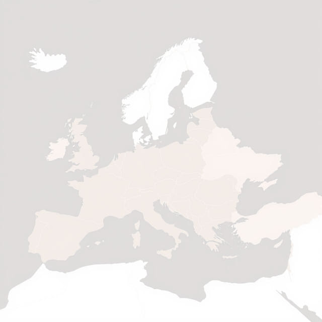
Europe is a continent rich in culture, geography, and history, made up of a diverse range of countries, languages, and traditions. A Europe map showing countries offers an insightful view into the layout of the continent, helping people better understand its political boundaries and regional characteristics. Whether for educational purposes, travel planning, or general curiosity, studying a map of Europe’s countries opens up an entire world of information about one of the most complex and influential regions on Earth.
Geographic Overview of Europe
Location and Borders
Europe is located in the Northern Hemisphere and shares its eastern border with Asia. In fact, Europe and Asia are part of the same landmass known as Eurasia, with the Ural Mountains often considered the dividing line. The continent is bounded by the Arctic Ocean to the north, the Atlantic Ocean to the west, the Mediterranean Sea to the south, and the Ural Mountains and Caspian Sea to the east.
Size and Diversity
Although Europe is the second smallest continent by land area, it is home to over 40 countries and more than 700 million people. This high concentration of nations within a relatively compact region means that countries are often located very close to each other, contributing to a rich diversity of cultures, languages, and histories. A map of Europe showing countries helps to visually represent these relationships and proximities.
Western Europe
Key Countries and Features
Western Europe is known for its developed economies, historic cities, and political influence. Countries in this region include
- France– Known for its iconic capital Paris and historic regions like Normandy and Provence.
- Germany– Europe’s largest economy with key cities like Berlin, Munich, and Frankfurt.
- United Kingdom– Comprising England, Scotland, Wales, and Northern Ireland, it is now separate from the European Union.
- Belgium– Home to the European Union headquarters in Brussels.
- Netherlands– Famous for its flat landscapes, canals, and vibrant cities like Amsterdam.
- Luxembourg– A small but wealthy country located between Belgium, France, and Germany.
On a Europe map showing countries, this area is typically found to the northwest and features relatively dense road and rail networks along with many international borders.
Eastern Europe
Political and Cultural Complexity
Eastern Europe includes a mix of European Union members and countries with historical ties to the former Soviet Union. It is a region where cultures blend and histories collide. Notable countries in this area are
- Russia– The largest country in the world, stretching across both Europe and Asia.
- Ukraine– A large Eastern European country currently known for its ongoing geopolitical significance.
- Poland– A country with a long history and a growing economy.
- Romania– Known for the Carpathian Mountains and Transylvania.
- Bulgaria– A nation rich in folklore and Black Sea coastline.
- Hungary– Famous for its capital Budapest and the Danube River.
This part of the map often includes countries that are less densely populated but rich in cultural landmarks and natural beauty. Political borders in Eastern Europe have changed frequently throughout history, making maps an essential tool for understanding the region.
Northern Europe
Scandinavia and Beyond
Northern Europe is associated with high standards of living, modern infrastructure, and cold climates. The key countries here include
- Sweden– Known for its neutrality, forests, and lakes.
- Norway– Famous for its fjords and oil reserves.
- Denmark– A bridge between mainland Europe and Scandinavia.
- Finland– A unique culture influenced by both the East and the West.
- Iceland– A remote island nation with volcanic landscapes and geothermal energy.
- Baltic States– Estonia, Latvia, and Lithuania are located along the eastern coast of the Baltic Sea.
A Europe map showing countries reveals the distinct layout of this region, with a mix of peninsulas, islands, and coastal borders.
Southern Europe
Sun, Sea, and Ancient Civilizations
Southern Europe is known for its Mediterranean climate, ancient ruins, and scenic coastlines. Important countries in this area are
- Italy– Home to Rome, Venice, and a wealth of Renaissance art and history.
- Spain– Known for its vibrant culture, cities like Madrid and Barcelona, and diverse landscapes.
- Portugal– Located on the Iberian Peninsula with a long Atlantic coastline.
- Greece– The birthplace of democracy and home to countless islands and ancient sites.
- Malta– A small island nation with a deep historical and strategic significance.
This region is often highlighted on maps for its distinctive peninsulas, such as the Iberian, Italian, and Balkan Peninsulas. Countries are closely packed with borders often running along mountain ranges or rivers.
Central Europe
The Heart of the Continent
Central Europe serves as a bridge between the East and West. Many of its countries share cultural influences from both regions. Key countries include
- Austria– Famous for its alpine scenery and musical heritage.
- Switzerland– Known for neutrality, banking, and the Swiss Alps.
- Czech Republic– A historic center of Central European culture.
- Slovakia– A landlocked country with mountainous terrain.
- Slovenia– Nestled between the Alps and the Adriatic Sea.
A map showing the countries of Central Europe displays a highly connected region, where historical trade routes and migration have left a deep cultural impact.
Microstates and Other Territories
Small Nations with Global Importance
Europe is also home to several microstates, which are small in size but unique in governance and influence. These include
- Monaco– A wealthy principality on the French Riviera.
- San Marino– One of the world’s oldest republics.
- Liechtenstein– A small alpine country between Austria and Switzerland.
- Vatican City– The smallest country in the world and the center of the Catholic Church.
- Andorra– Located in the Pyrenees between France and Spain.
These nations are typically easy to locate on a map once you know where to look, but their small size means they are often overlooked at first glance.
Understanding Political Borders
Why Maps Matter
Political borders on a Europe map showing countries are not just lines they represent centuries of treaties, wars, and cultural shifts. Maps help students, travelers, and researchers visualize these borders and better understand how Europe has evolved over time. From the expansion of the European Union to ongoing regional conflicts, political maps offer a window into the real-world dynamics of the continent.
Exploring a Europe map showing countries is more than just a geography lesson. It is a way to connect with the continent’s rich history, vibrant cultures, and intricate political landscape. From the vast lands of Russia to the tiny streets of Vatican City, each country has its own story to tell. By understanding how these nations are arranged on the map, we gain a deeper appreciation for the diversity and complexity that define modern Europe. Maps are not just tools they are gateways to knowledge, travel, and cultural discovery.